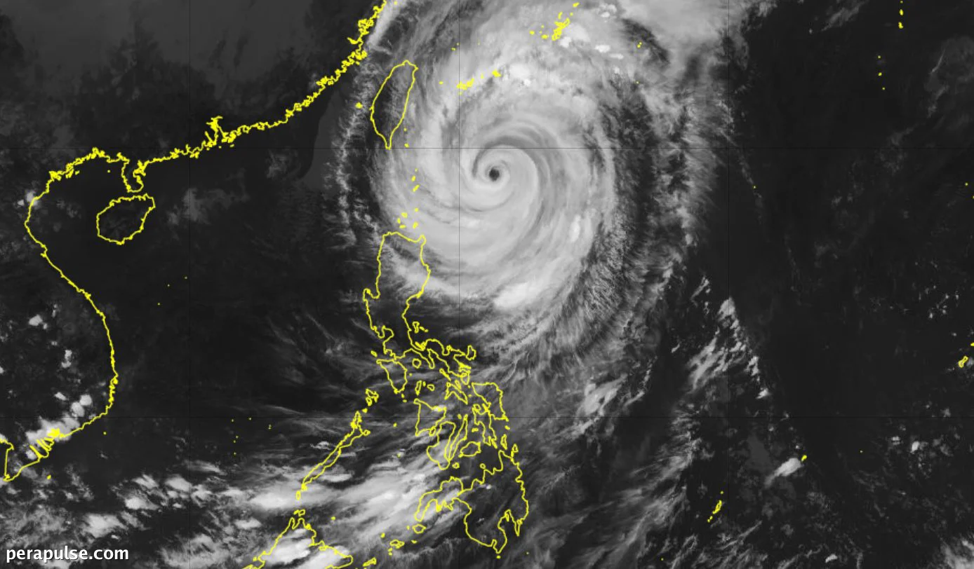
Typhoon Rosal has been downgraded from a super typhoon to a standard typhoon as of October 22, 2026, according to the Philippine Atmospheric, Geophysical, and Astronomical Services Administration (PAGASA). The storm is currently located 350 kilometers east of Itbayat, Batanes.
As of Thursday afternoon, Rosal's maximum sustained winds have decreased to 165 kilometers per hour, down from a peak of 215 km/h. Residents in Batanes and parts of Cagayan are experiencing heavy rain due to the storm.
Rainfall and Wind Warnings in Effect
PAGASA has warned that Batanes could receive between 100 to 200 millimeters of rain in the next 24 hours, while Cagayan could see 50 to 100 mm. Rain and gusty winds are also expected in Ilocos Norte, Apayao, and Isabela.
Rosal will continue to trigger heavy to intense rain in Batanes and moderate to heavy rain in Cagayan in the next 24 hours.
PAGASA Bulletin
The storm's effects will extend to the Cordillera Administrative Region and other areas, with scattered rain and thunderstorms anticipated.
Tropical Cyclone Wind Signals
Travel remains dangerous in affected seaboards, with warnings of very rough seas and wave heights reaching up to 12 meters along the northern and eastern coasts of Batanes.
Forecast and Future Developments
Rosal is expected to leave the Philippine Area of Responsibility by the evening of October 24, 2026, and could weaken further to a severe tropical storm.
This marks the 18th tropical cyclone to impact the Philippines in 2026 and the first for the month of October.
Additionally, Super Typhoon Champi is forecasted to enter the Philippine Area of Responsibility on October 20, 2026.