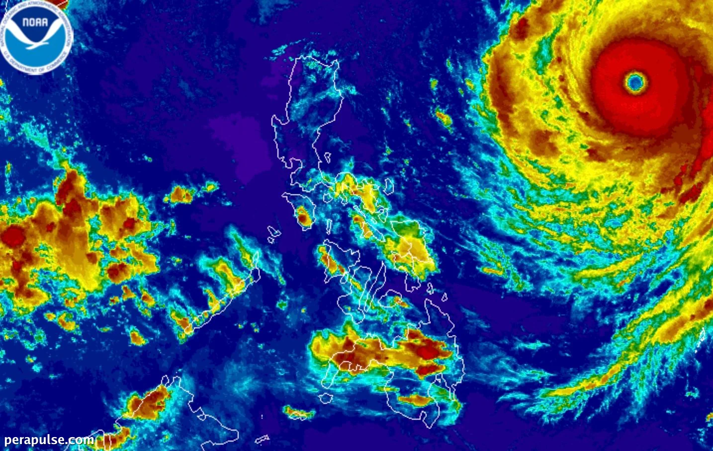
Forecast and Impact Areas
Rosal was last located 1,270 kilometers east of Central Luzon, moving west-northwest at 25 km/h. Although it is not expected to make landfall, its extensive reach will impact parts of Northern Luzon and Eastern Visayas.
The trough or extension of Super Typhoon Rosal may cause scattered rain and thunderstorms in Bicol and Eastern Visayas tonight.
Philippine Atmospheric, Geophysical, and Astronomical Services Administration (PAGASA)
The typhoon has prompted several areas to be placed under Tropical Cyclone Wind Signal No. 1, indicating the possibility of strong winds.
Affected Regions
Regions currently under Signal No. 1 include:
Sea Conditions Report
PAGASA has also warned of hazardous sea conditions due to Rosal, with waves reaching up to 4.5 meters in some areas. Fishermen and small vessel operators are advised to avoid sailing in affected waters.
Moving forward, Rosal is expected to persist in its current course until Friday, after which it may weaken into a typhoon.
Rosal is the 18th tropical cyclone of 2026 and the first for October, with PAGASA estimating one or two more cyclones may develop this month.