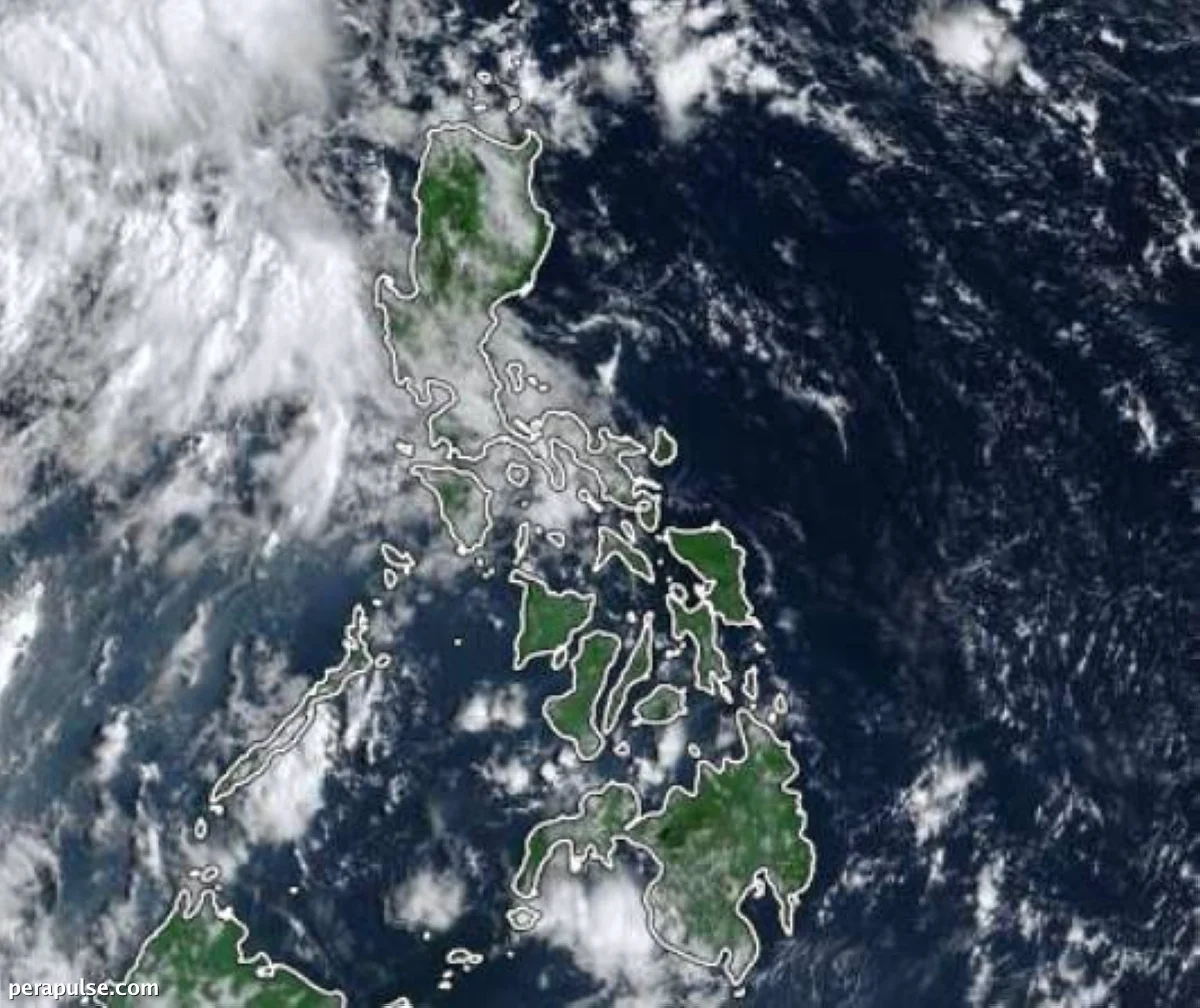
The Philippine Atmospheric, Geophysical and Astronomical Services Administration (Pagasa) is closely observing two low-pressure areas (LPAs) that could impact the weather across Luzon.
One LPA is located approximately 1,835 kilometers east of northeastern Mindanao and may develop into a tropical cyclone within the next day. However, its entry into the Philippine Area of Responsibility (PAR) remains uncertain.
Although for now, the chance of a landfall scenario is low, we are not ruling out the possibility that it might approach the Bicol and Aurora areas.
Veronica Torres, Pagasa Weather Forecaster
The second LPA, situated about 990 kilometers west of southwestern Luzon, is also under scrutiny. It is more likely to evolve into a tropical cyclone but is not expected to enter PAR.
Despite the forecast of rain in several areas, fair weather is anticipated in Visayas and Mindanao, though localized thunderstorms may occur.
Currently, there are no gale warnings in effect for any coastal waters in the Philippines.