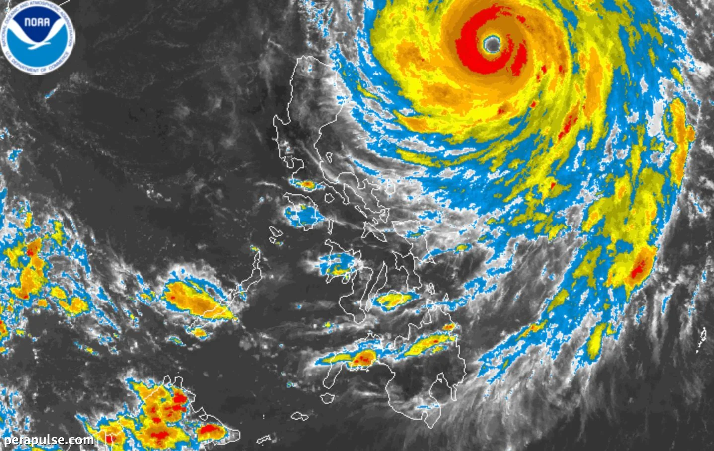
Super Typhoon Rosal (Champi) began to weaken on October 21, 2026, with maximum sustained winds dropping to 205 kilometers per hour from a previous peak of 215 km/h.
The Philippine Atmospheric, Geophysical, and Astronomical Services Administration (PAGASA) reported that gustiness has also decreased, now reaching 250 km/h.
Rainfall and Wind Warnings
Despite the weakening, Rosal is anticipated to affect several provinces in Northern Luzon, particularly Batanes, Cagayan, and Apayao, with moderate to heavy rain expected.
Wind signals remain active, with Signal No. 2 raised in Batanes, indicating gale-force winds between 62-88 km/h.
Other areas under Signal No. 1 include Cagayan, eastern Isabela, and parts of Apayao and Ilocos Norte.
PAGASA warns that conditions at sea are hazardous, particularly in Batanes, where wave heights could reach up to 10 meters.
Travel is discouraged on northern and eastern seaboards due to very rough seas.
Forecast and Historical Context
Rosal is expected to exit the Philippine Area of Responsibility by October 24. This tropical cyclone marks the 18th of the year and the first in October.
Historically, October often sees several tropical storms as the country transitions to the northeast monsoon, which typically brings cooler weather.