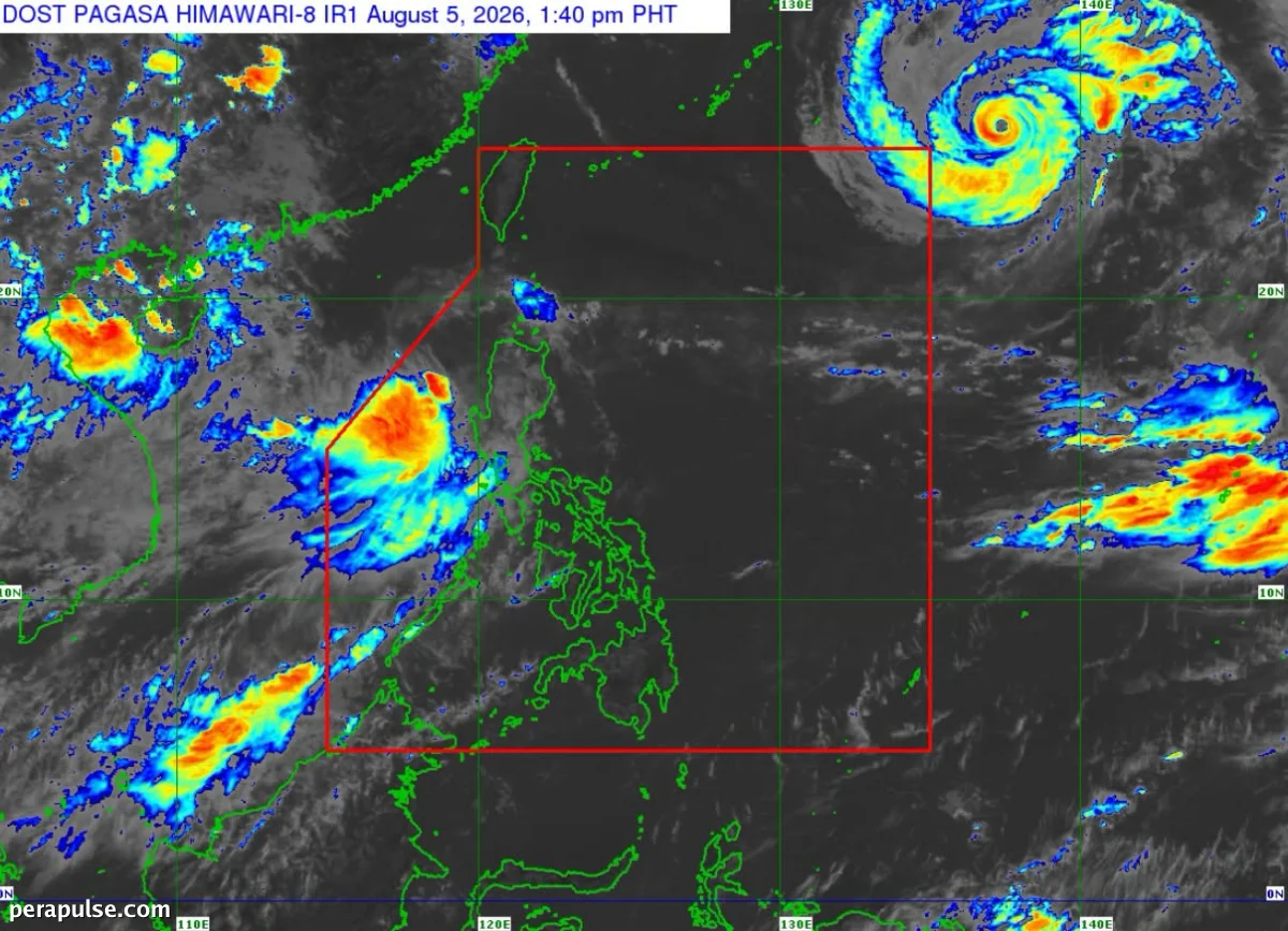
Tropical Storm ‘Maymay’ is expected to make landfall in the Ilocos Norte-Ilocos Sur-La Union area between Wednesday night and Thursday morning. The Philippine Atmospheric Geophysical Astronomical Services Administration (Pagasa) announced this in a bulletin on Wednesday.
Projected Path and Impact Areas
After landfall, Maymay is forecasted to weaken into a tropical depression by Thursday morning, with a further downgrade to a low pressure area possible by Thursday afternoon or evening.
As of the latest update, the storm was located 145 kilometers west of Sinait, Ilocos Sur, moving north-northeast at a speed of 10 kilometers per hour.
These areas are expected to experience winds greater than 62 kph and up to 88 kph in at least 24 hours.
Pagasa Bulletin
Pagasa has issued Signal No. 2 for several areas, including: