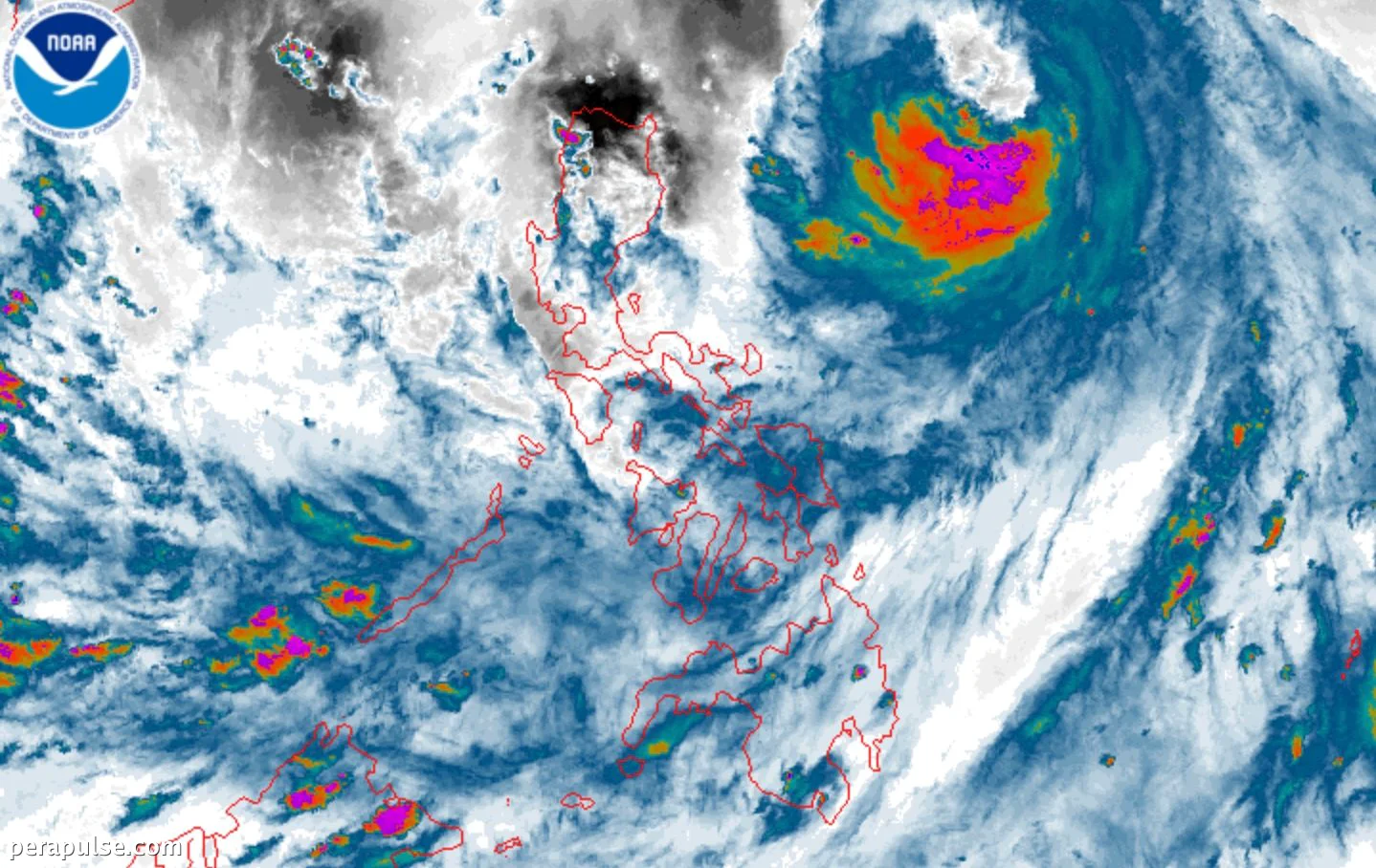
Typhoon Domeng (Jangmi) has escalated from a severe tropical storm, now boasting maximum sustained winds of 120 kilometers per hour, as of May 30, 2026. The Philippine Atmospheric, Geophysical, and Astronomical Services Administration (PAGASA) reported the latest developments in a bulletin issued at 5 PM.
Currently situated 815 kilometers east of Northern Luzon, Domeng is moving northwest at 20 km/h and is not anticipated to make landfall. However, its outer bands are already causing scattered rain and thunderstorms in areas including Batanes, Cagayan, Isabela, Aurora, and Quezon.
Weather Implications and Warnings
The trough or extension of Typhoon Domeng is expected to bring heavy rainfall and may trigger flash floods and landslides across various provinces.
PAGASA
The southwest monsoon is also being enhanced by Domeng, affecting regions like Mimaropa and parts of the Visayas. PAGASA warns that these conditions may lead to severe weather events, including strong gusts in several areas.
Despite the typhoon’s offshore position, PAGASA has stated it is 'less likely' that wind signals will be raised due to Domeng's distance from land. However, they have not completely ruled out the possibility of issuing alerts for extreme Northern Luzon.
Forecasts indicate that Domeng will exit the Philippine Area of Responsibility by June 1. This marks the country’s fourth tropical cyclone of the year, with the rainy season expected to be officially declared soon.