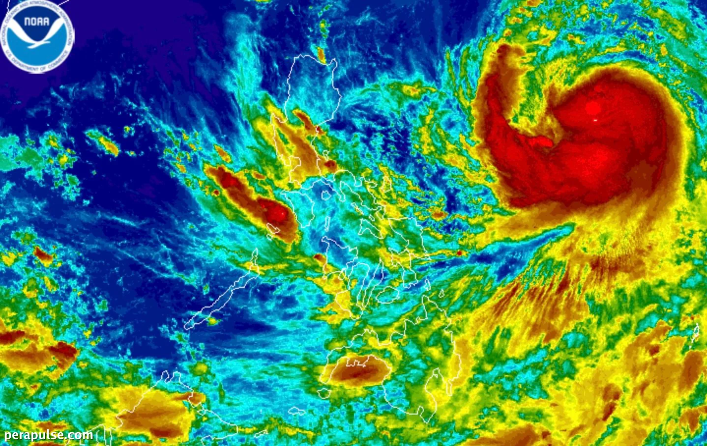
Ang Matinding Bagyong Tropikal na si Domeng, na kilala rin bilang Jangmi, ay lumakas noong Biyernes ng gabi, Mayo 29, 2026, na may maximum sustained winds na umabot sa 95 kilometers per hour (km/h) at mga bugso na umabot sa 115 km/h.
Noong 10 PM, si Domeng ay matatagpuan humigit-kumulang 1,045 kilometers silangan ng Central Luzon, na kumikilos patungong kanluran-hilagang kanluran sa bilis na 15 km/h. Sa kabila ng kanyang distansya, ang trough ng bagyo ay nagdudulot na ng mga kalat-kalat na ulan sa mga lugar tulad ng Silangang Visayas, Sorsogon, at Masbate.
Mga Epekto at Babala
Ang Philippine Atmospheric, Geophysical, and Astronomical Services Administration (PAGASA) ay nagpapahiwatig na habang hindi inaasahang direktang makakaapekto si Domeng sa lupain ng Pilipinas, ang kanyang trough ay maaaring magdulot ng biglaang pagbaha at pagguho ng lupa.
Ang pagpapalakas ng daloy ng hangin mula sa timog-kanluran, na nauuna sa timog-kanlurang monsoon, ay inaasahang magdadala ng malakas na ulan sa mga kanlurang rehiyon ng bansa simula Linggo, Mayo 31. (cite: PAGASA)
Nagbabala ang PAGASA na ang malalakas na bugso ng hangin ay makakaapekto sa ilang rehiyon, kabilang ang karamihan sa Visayas at mga bahagi ng Hilagang Luzon mula Sabado hanggang Linggo.
Hindi ibinukod ng ahensya ng panahon ang posibilidad ng pagtaas ng mga signal ng hangin ng bagyong tropikal sa matinding Hilagang Luzon, depende sa kung paano mag-develop si Domeng.
Inaasahang lalabas si Domeng sa Philippine Area of Responsibility (PAR) sa Lunes, Hunyo 1, 2026. Ito ang ikaapat na bagyong tropikal ng taon at ang pangalawa sa Mayo.
Habang ang bansa ay naghahanda para sa tag-ulan, inaasahang gagawa ng opisyal na anunsyo ang PAGASA sa lalong madaling panahon, dahil ang panahong ito ay karaniwang nagsisimula sa pagitan ng huli ng Mayo at unang bahagi ng Hunyo.