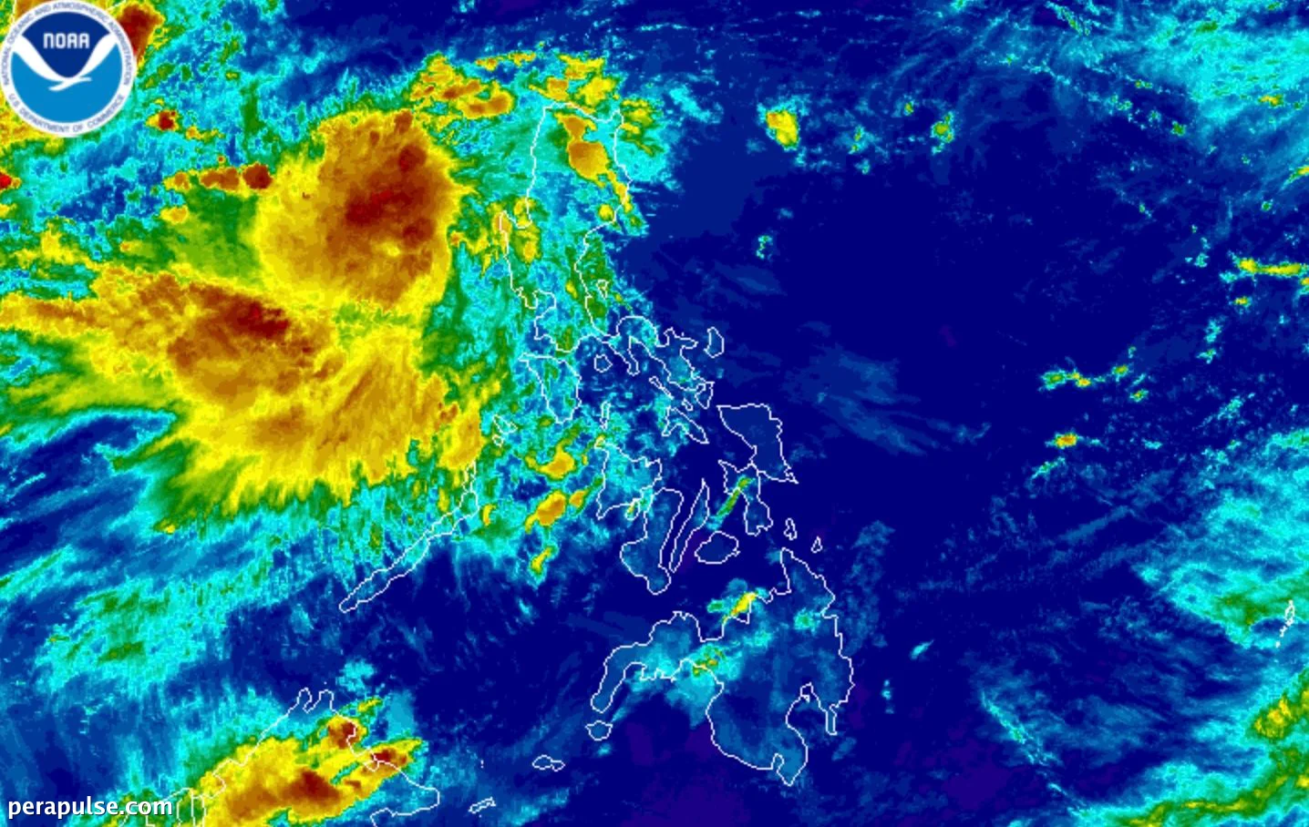
Tropical Depression Maymay officially formed on August 4, 2026, off the coast of La Union, marking the Philippines' 13th tropical cyclone this year.
As of 10 PM on August 4, Maymay was located approximately 130 kilometers west northwest of Bacnotan, La Union, with sustained winds of 55 km/h and gusts reaching 70 km/h.
Forecast and Impact
PAGASA predicts that Maymay will remain nearly stationary for up to 12 hours before it starts moving eastward, likely making landfall in Ilocos Sur or La Union by the afternoon of August 5.
Maymay could strengthen into a tropical storm in the coming hours before potentially weakening again by Thursday morning.
PAGASA Bulletin
The storm's approach coincides with the southwest monsoon, which has already been affecting Metro Manila and nearby regions.
Flooding and Landslide Risks
Residents in affected areas are urged to prepare for potential flooding and landslides. PAGASA has raised Signal No. 1 in several provinces, indicating strong winds.
Additionally, the periphery of Typhoon Dolphin, located 1,970 kilometers east northeast of Northern Luzon, is expected to enhance the rainfall brought by the southwest monsoon.
Warnings for Mariners
The Philippine Coast Guard has issued warnings about rough seas along various seaboards, particularly in Ilocos Sur, La Union, and Pangasinan.
As Tropical Depression Maymay continues to develop, local authorities are on alert to mitigate impacts on communities in its path.