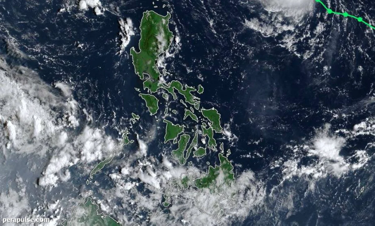
Tropical Storm 'Queenie' is expected to intensify into a typhoon by Sunday as it progresses across the North Philippine Sea. However, the Philippine Atmospheric, Geophysical and Astronomical Services Administration (Pagasa) has confirmed that it will not make landfall.
Storm Updates and Forecasts
Queenie has maintained its strength while traversing the North Philippine Sea.
Leanne Loreto, Weather Specialist
As of the latest reports, Queenie remains distant from land, with no wind signals raised across the country. Pagasa indicated that the storm could exit the Philippine Area of Responsibility by Sunday afternoon or early Monday.
Pagasa's forecasts suggest that from Saturday afternoon to Sunday, Queenie will shift northeast toward southern Japan. Despite this, Loreto reassured the public that the storm would not impact the Philippines.
Should the storm approach northern areas like Batanes and Cagayan, there may be an increase in wave heights, but no gale warnings are anticipated.
Weather Conditions Ahead
In addition to monitoring Queenie, the Intertropical Convergence Zone (ITCZ) will continue to influence local weather patterns. Most of Mindanao is expected to experience cloudy conditions, scattered rain, and thunderstorms.
Looking ahead, Pagasa forecasts the potential end of the southwest monsoon, or habagat, in the next two weeks, transitioning the country into the amihan season.
Pagasa plans to release its next update on Tropical Storm 'Queenie' at 11 a.m. on Saturday.