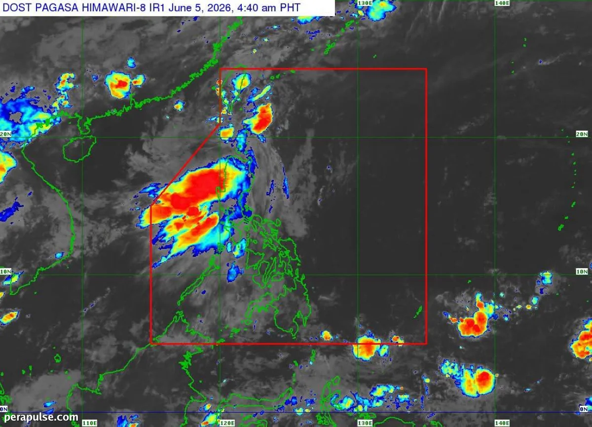
Nabuo ang Tropical Depression 'Ester' mula sa isang low pressure area malapit sa Batanes, ayon sa Pagasa. Noong umaga ng Biyernes, ito ay matatagpuan sa 225 kilometro hilagang-kanluran ng Itbayat, Batanes.
Kumilos ito sa hilagang-silangan sa bilis na 20 kilometro bawat oras, ang 'Ester' ay may maximum sustained winds na 45 kilometro bawat oras at mga bugso na umaabot sa 55 kilometro bawat oras.
Nilinaw ng weather bureau na hindi inaasahang tatama ang 'Ester' sa lupa ng Pilipinas. Sa halip, ito ay lalapit sa timog-kanlurang baybayin ng Taiwan.
Inaasahan ng Pagasa na lalabas ang tropical depression sa Philippine Area of Responsibility sa Sabado.
Inaasahang kumilos ang Tropical Depression Ester patungong hilagang-silangan at tatama sa timog-kanlurang baybayin ng Taiwan sa Biyernes.
Philippine Atmospheric, Geophysical and Astronomical Services Administration (Pagasa)
Habang papalapit ang 'Ester', itinaas ang signal number one sa Batanes, na nagpapahiwatig ng potensyal na masamang kondisyon ng panahon.
- May maximum sustained winds ang Ester na 45 kph.
- Ang bagyo ay papalapit sa Taiwan at lalabas sa PAR sa Sabado.