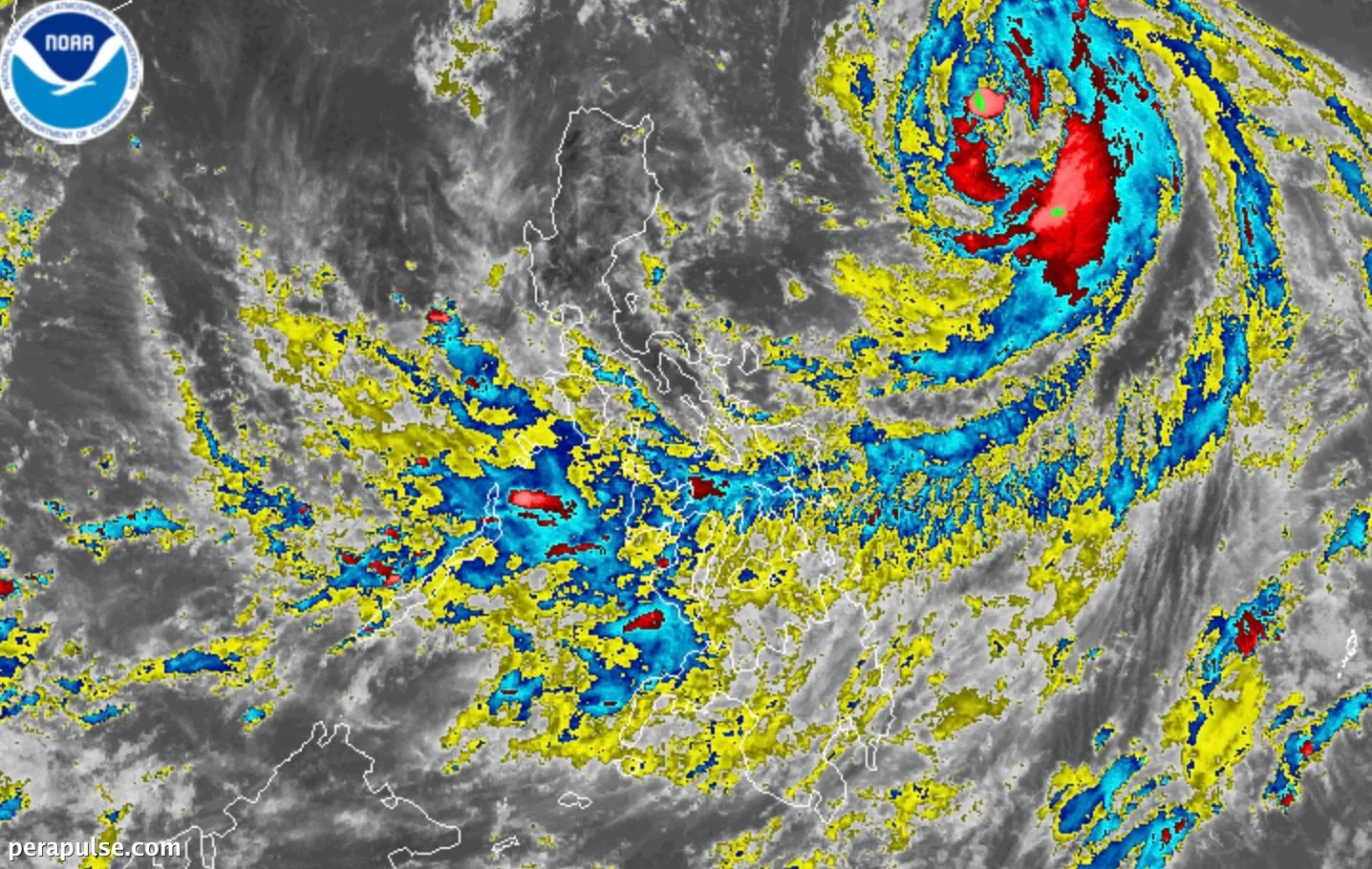
Malubhang Bagyong Tropikal Domeng ay bahagyang lumakas sa Karagatang Pilipino, na may maximum sustained winds na umabot sa 100 kilometro bawat oras noong Mayo 30, 2026, ayon sa Philippine Atmospheric, Geophysical and Astronomical Services Administration (PAGASA).
Ang bagyo, na matatagpuan 875 kilometro silangan ng Hilagang Luzon at kumikilos patungong hilagang-kanluran sa bilis na 20 km/h, ay inaasahang magpapalakas sa timog-kanlurang monsoon, na magdadala ng mga kalat-kalat na ulan at pagkulog sa Silangang Visayas, Sorsogon, at Masbate.
Taya at Epekto ng Domeng
Sa Sabado ng gabi o Linggo ng umaga, si Domeng ay maaaring lumakas at maging bagyo. (cite: PAGASA)
Ipinahiwatig ng PAGASA na Domeng ay maaaring maging bagyo sa katapusan ng weekend, na may potensyal na maximum sustained winds na umaabot mula 118 hanggang 184 km/h.
Ang timog-kanlurang monsoon, na kasalukuyang umiiral, ay makakaranas ng pagtaas ng pag-ulan sa ilang mga lalawigan. Naglabas ang PAGASA ng rainfall advisory para sa katamtaman hanggang malakas na ulan na inaasahang mangyari sa