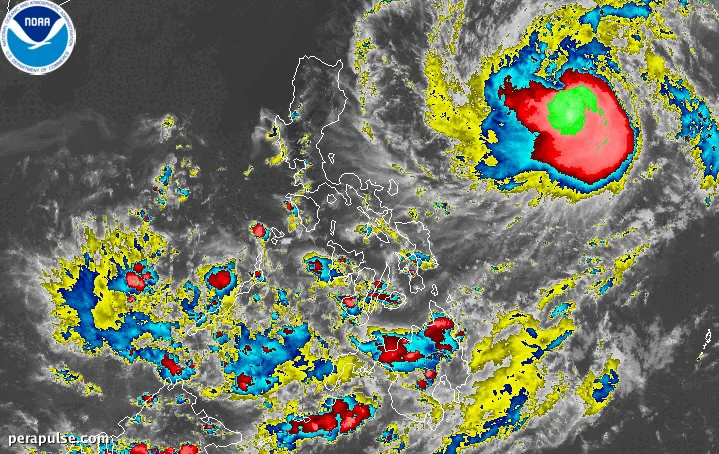
Typhoon Francisco (Mekkhala) has intensified, bringing maximum sustained winds of 120 kilometers per hour as it moves west-northwest at 25 km/h. As of June 21, 2026, it was located 1,055 kilometers east of Central Luzon, according to the Philippine Atmospheric, Geophysical, and Astronomical Services Administration (PAGASA).
PAGASA forecasts that Francisco will enhance the southwest monsoon, expected to bring heavy rain starting June 22. Specific rainfall advisories will be issued to prepare residents for potential flooding.
Areas Affected by Upcoming Weather Conditions
The typhoon's trough may cause scattered rain and thunderstorms in Bicol, while Mindanao and Palawan could also experience similar conditions due to the southwest monsoon.
The following areas are forecasted to experience strong to gale-force gusts:
Francisco marks the sixth tropical cyclone to enter the Philippine Area of Responsibility (PAR) in 2026 and the second for June. PAGASA is also monitoring a low-pressure area located 3,020 kilometers east of southeastern Luzon, which has a low chance of developing into a tropical depression.