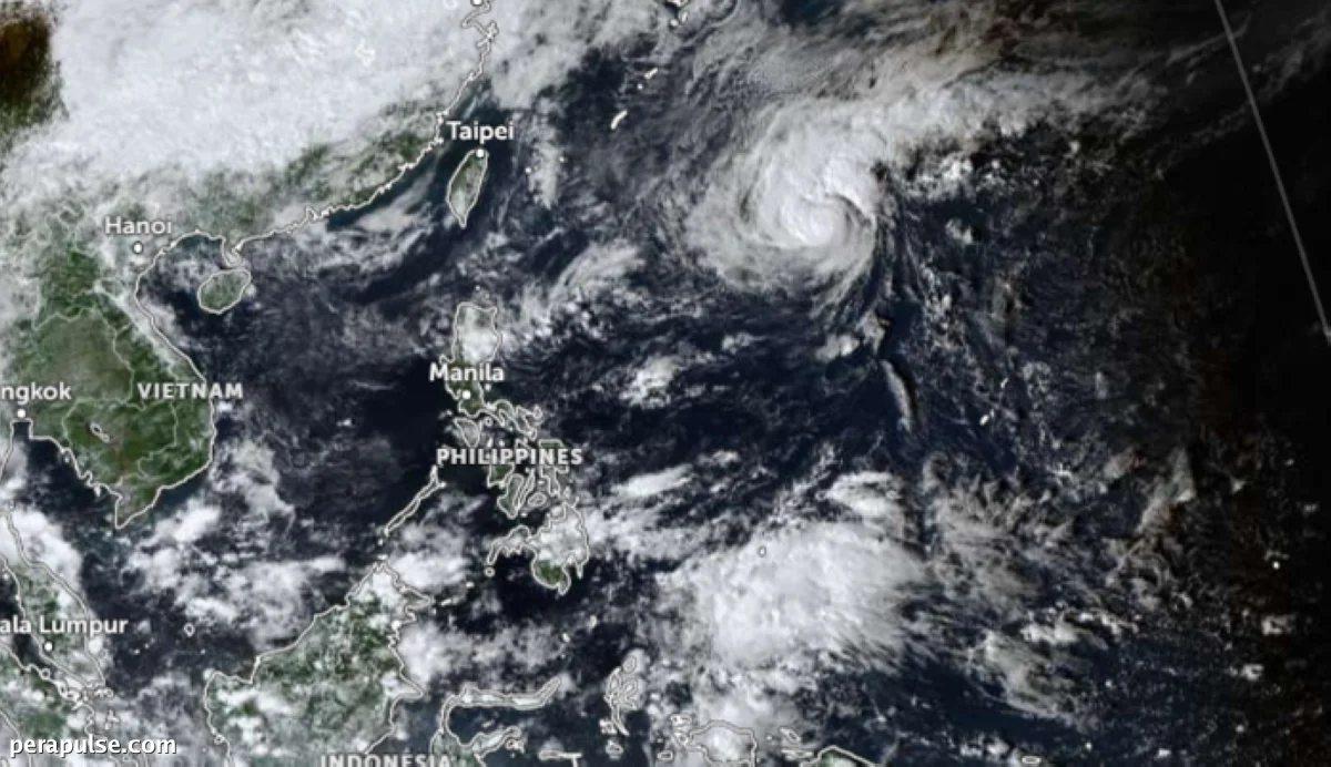
Severe Tropical Storm Cempaka is projected to enter the Philippine Area of Responsibility (PAR) as early as tonight, according to the Philippine Atmospheric, Geophysical and Astronomical Services Administration (Pagasa). Once it crosses into PAR, it will be designated the name 'Samuel.'
Pagasa Weather Specialist Obet Badrina confirmed that the storm is not expected to make landfall. Instead, it will primarily affect the northeastern boundary of the PAR.
Current Weather Conditions
Despite Cempaka's approach, the northeast monsoon, or amihan, remains the dominant weather pattern affecting the Philippines. This system particularly influences the northern and central regions of Luzon.
It will not directly affect our country, especially because it will just skirt the northeastern boundary of the PAR.
Obet Badrina, Pagasa Weather Specialist
- Cempaka will be named 'Samuel' upon entering PAR
- Northeast monsoon continues to impact Luzon
Badrina noted that the easterlies are contributing to cloudy conditions, especially in the Visayas and eastern Mindanao. These conditions are typical as the country transitions into the rainy season.