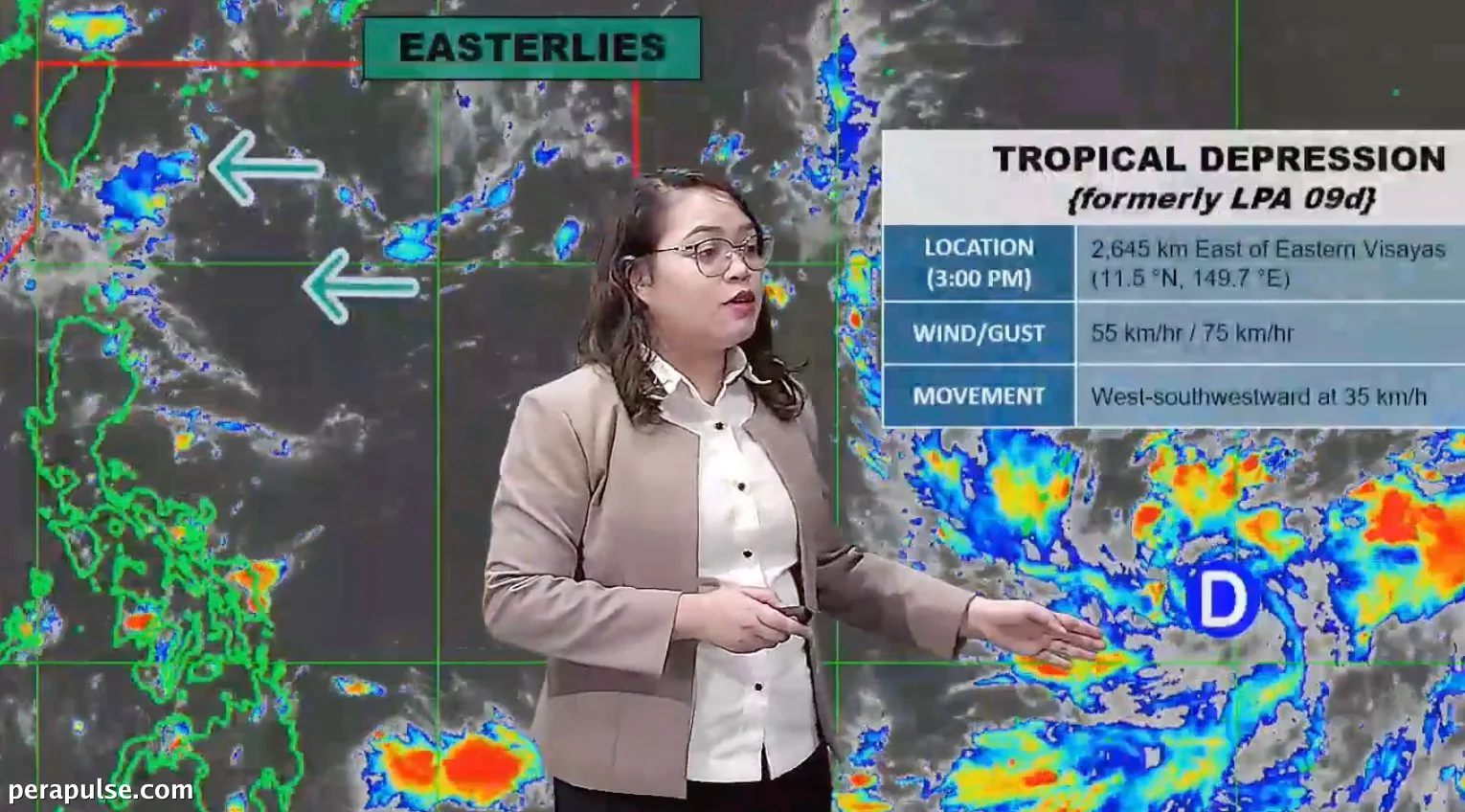
A tropical depression formed on September 14, 2026, approximately 2,645 kilometers east of Eastern Visayas. The Philippine Atmospheric, Geophysical, and Astronomical Services Administration (PAGASA) reported that this system is moving west southwest at a speed of 35 kilometers per hour.
Current Conditions and Future Outlook
With maximum sustained winds of 55 km/h and gusts reaching 70 km/h, the tropical depression is not expected to make landfall in the Philippines. PAGASA Weather Specialist Charmagne Varilla indicated that while the cyclone could enter the Philippine Area of Responsibility (PAR) in the coming days, it is unlikely to affect the country.
The tropical cyclone is not expected to make landfall in the Philippines, and it could have no impact on the country.
Charmagne Varilla, PAGASA Weather Specialist
Currently, the easterlies are influencing weather patterns in extreme Northern Luzon, particularly in Batanes and the Babuyan Islands, where isolated rain showers or thunderstorms are expected.
Overall, the rest of the country can anticipate generally fair weather, although some areas may experience localized thunderstorms. Furthermore, PAGASA suggests that the southwest monsoon or *habagat* may return by September 16, potentially affecting parts of the Visayas and Mindanao.