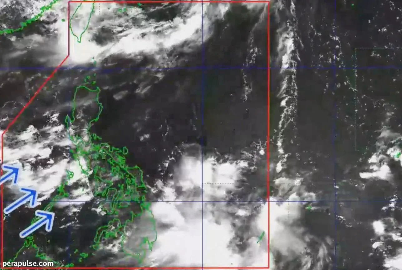
Severe Tropical Storm Gardo (international name: Higos) exited the Philippine Area of Responsibility (PAR) on June 26, 2026, at 9:30 AM, following its entry less than 24 hours earlier.
The storm briefly approached the northeastern boundary of PAR but did not have a significant impact on the country. It is currently moving north northeast towards southern Japan with maximum sustained winds of 95 kilometers per hour and gusts reaching up to 115 km/h.
Heavy Rains Expected in Luzon and Visayas
Despite Gardo's swift departure, the southwest monsoon continues to affect large areas in Luzon and the Visayas. PAGASA has issued warnings for moderate to heavy rainfall (50-100 millimeters) across several provinces.
These areas are at increased risk for flash floods and landslides. Scattered rain and thunderstorms are also anticipated in regions including Metro Manila, Cavite, Batangas, and parts of the Ilocos Region.
Moreover, the intertropical convergence zone (ITCZ) is contributing to scattered rain across the Caraga region, Davao, and Southern Leyte, while the rest of Mindanao may only see isolated showers.
The southwest monsoon or *habagat* is expected to bring significant rainfall, increasing the likelihood of flash floods and landslides in vulnerable areas.
Philippine Atmospheric, Geophysical and Astronomical Services Administration (PAGASA)
The rainy season officially began on June 4, and with Gardo's exit, the focus now shifts to managing the impacts of the southwest monsoon.