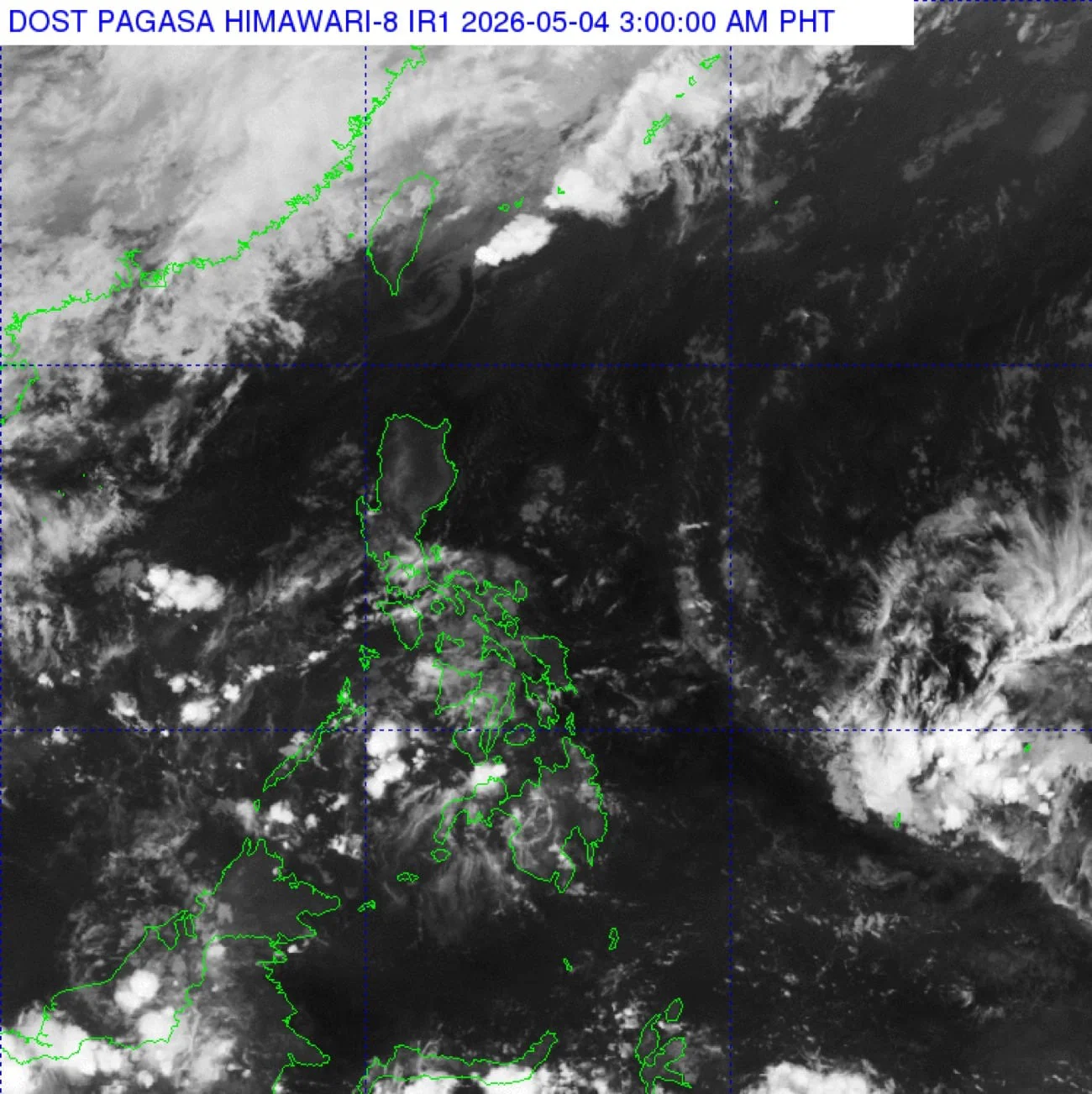
The Philippine Atmospheric, Geophysical and Astronomical Services Administration (Pagasa) has detected an intertropical convergence zone (ITCZ) outside the Philippine Area of Responsibility (PAR). This weather system may lead to the formation of a low-pressure area (LPA).
Pagasa weather specialist Aldczar Aurelio explained that the ITCZ is formed where winds from the northern and southern hemispheres converge. Currently, it poses no direct threat to the country.
However, Aurelio noted that rain showers could begin affecting the Visayas and Mindanao regions by Thursday or Friday.
Current Weather Forecast
Monday's forecast indicates high temperatures across the Philippines, driven by easterly winds from the Pacific. Metro Manila is expected to see temperatures ranging from 24°C to 35°C.
Here are the expected temperature ranges in key areas:
Rain and Thunderstorm Outlook
The easterlies may also cause scattered rains and thunderstorms in parts of the Western Visayas, Negros Island Region, Zamboanga Peninsula, Bangsamoro Autonomous Region in Muslim Mindanao, and Palawan from afternoon to evening.
In addition, isolated rain showers or thunderstorms could occur in Metro Manila and other regions during the same timeframe.
No gale warnings have been issued for any coastal areas in the country.