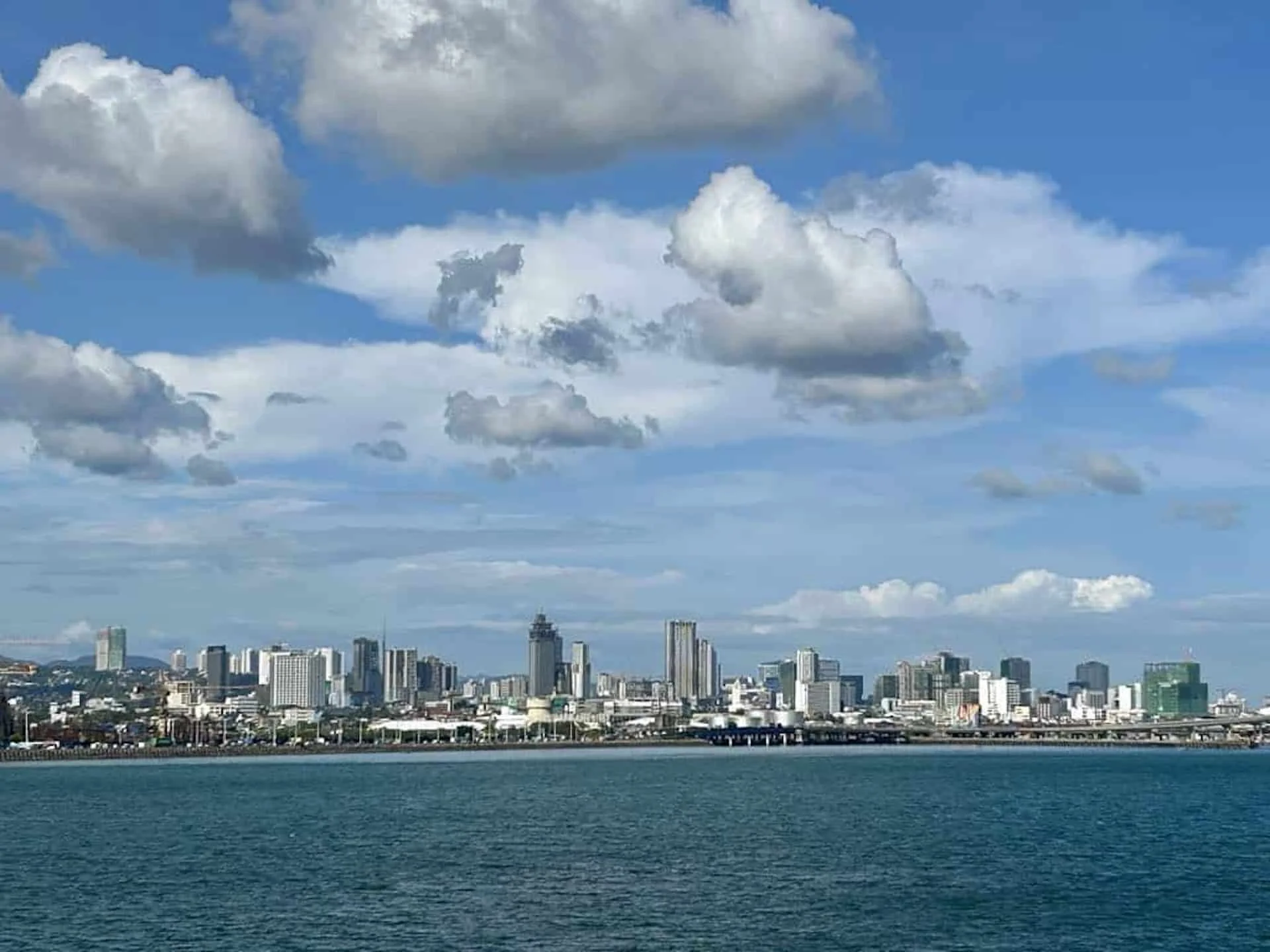
Cebu will remain unaffected by Tropical Storm Caloy this Sunday, May 10, 2026, according to the Philippine Atmospheric, Geophysical and Astronomical Services Administration (Pagasa).
Despite this, the province may see partly cloudy skies with potential isolated rain or thunderstorms due to prevailing easterlies.
Warm and Humid Conditions Ahead
The easterlies, which are warm winds from the Pacific, will contribute to hot and humid weather across the region.
In Cebu, daytime temperatures are expected to range from 26 to 32 degrees Celsius, while nighttime temperatures will be between 26 and 30 degrees Celsius.
However, the heat index may soar to 39 degrees Celsius, prompting Pagasa to issue an 'extreme caution' warning.
Prolonged exposure to extreme heat can lead to heat cramps or exhaustion. Continuous activity may even result in heat stroke.
Pagasa
To mitigate health risks, the agency advises residents to limit sun exposure, stay hydrated, avoid strenuous activities during peak heat hours, and wear light clothing.
Weather Conditions and Sea State
Cebuanos can expect light to moderate winds and slight to moderate seas throughout the day.
Similar weather conditions are forecasted for most of the Visayas, Palawan, and Occidental Mindoro, while Eastern Visayas will experience moderate winds and seas.
As of Sunday morning, no gale warnings have been issued, but Pagasa cautions that sea conditions may be affected by Tropical Storm Caloy.
Tropical Storm Caloy Update
At 4 a.m. Sunday, Caloy was located about 910 kilometers east of northeastern Mindanao. The storm is moving west-northwest at 15 kilometers per hour.
With maximum sustained winds of 65 km/h and gusts up to 80 km/h, it is expected to weaken to a tropical depression later today and may further downgrade to a remnant low by Monday.