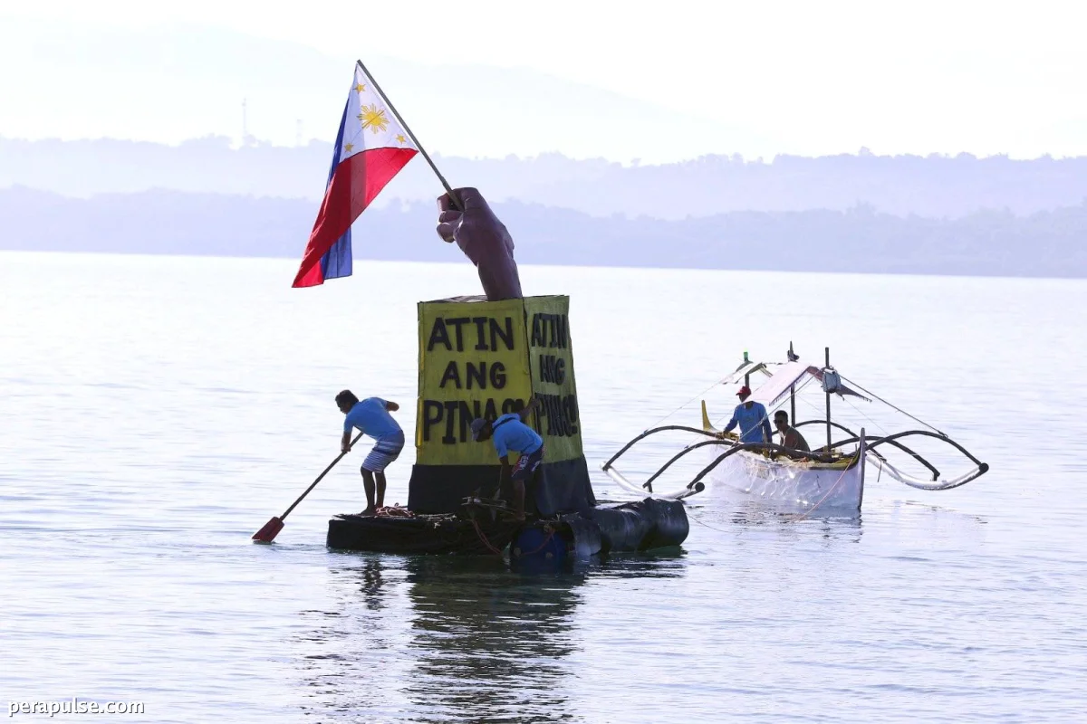
Ang Pilipinas ay opisyal na nagsumite ng nautical chart ng Bajo de Masinloc sa United Nations, na pinatitibay ang mga pag-angkin nito sa karagatan sa South China Sea. Layunin ng pagsusumiteng ito na palakasin ang transparency tungkol sa hurisdiksyon ng bansa sa mga pinagtatalunang tubig na ito.
Ipinakita ng Delegasyon ng Pilipinas ang Mapa sa UN
Pinatitibay ng hakbang na ito ang aming pangako na ipaglaban ang aming mga karapatan at responsibilidad sa karagatan sa ilalim ng pandaigdigang batas.
Enrique A. Manalo, Ambassador to the UN
- Ang mapa ay isinumite noong Hulyo 29, 2026.
- Ito ay sumusunod sa Artikulo 16 ng 1982 United Nations Convention on the Law of the Sea (UNCLOS).
Inanunsyo ng Department of Foreign Affairs (DFA) na ang mapa, na kilala bilang Namria Chart 1567, ay ipinakita ni Ambassador Enrique A. Manalo kay Alice Hicuburundi, isang deputy director sa UN Division for Ocean Affairs and the Law of the Sea.
Itinatampok ng chart na ito ang mga normal na baseline at hangganan ng teritoryal na dagat sa paligid ng Bajo de Masinloc, na umaayon sa parehong UNCLOS at mga lokal na batas. Sa pamamagitan ng pagsusumite ng opisyal na impormasyong ito, layunin ng Pilipinas na patatagin ang mga karapatan nito sa karagatan sa isang pandaigdigang plataporma.
Kasama sa delegasyon ang mga eksperto mula sa iba't ibang ahensya ng gobyerno, na binibigyang-diin ang sama-samang pagsisikap sa likod ng pag-angking ito sa karagatan.