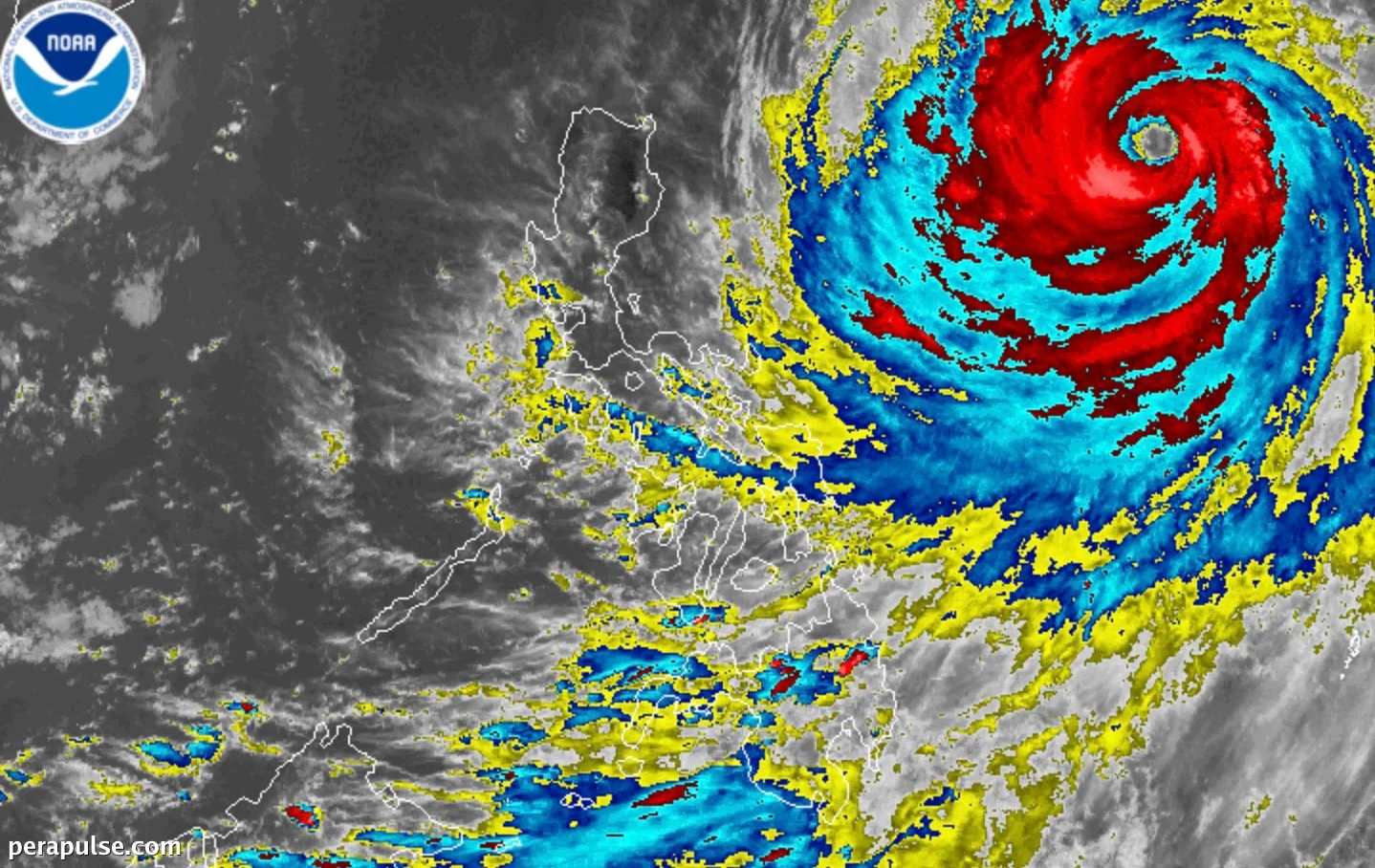
Ang panlabas na banda ng Super Typhoon Inday (Bavi) ay makikipag-ugnayan sa timog-kanlurang monsoon, na nagdudulot ng magkakasamang ulan at mga bagyo sa buong Pilipinas. As of July 8, 2026, ang bagyo ay matatagpuan 1,170 kilometers silangan ng Hilagang Luzon.
Mga Babala sa Panahon at Inaasahang Ulan
Iniulat ng PAGASA na si Inday ay kasalukuyang may maximum sustained winds na 195 km/h at mga bugso na umaabot sa 240 km/h. Bagaman inaasahang humina ito sa isang bagyo sa July 9 o 10, dapat maghanda ang mga residente para sa posibleng biglaang pagbaha at pagguho ng lupa.
Maaaring maapektuhan ng panlabas na banda ng Inday ang Silangang Visayas at Bicol sa Miyerkules ng gabi, na may posibleng biglaang pagbaha at pagguho ng lupa.
(cite: PAGASA Bulletin)
Ang mga timog na rehiyon ng bansa, kabilang ang mga bahagi ng Palawan, Negros, at Mindanao, ay makakaranas din ng magkakasamang ulan dahil sa timog-kanlurang monsoon. Nagbibigay ng babala ang mga awtoridad, lalo na sa mga lugar na madaling bahain.
Habang papalapit si Inday, ang mga lugar na nasa ilalim ng Signal No. 1 ay kinabibilangan ng Ilocos Norte, Cagayan, at mga bahagi ng Abra, kung saan inaasahang magkakaroon ng malalakas na hangin. Nagbabala ang PAGASA na ang mga hangin na ito ay maaaring umabot sa Signal No. 2 o 3.
Ang mga kondisyon ng dagat sa mga apektadong lugar ay maaaring maging mapanganib, na may mga alon na umaabot ng hanggang 5 metro ang taas. Ang mga mangingisda at mga manlalakbay ay hinihimok na manatiling nakatutok at iwasang lumabas.
Si Inday ang ikasiyam na tropical cyclone na pumasok sa Philippine Area of Responsibility ngayong taon, na may inaasahang higit pang mga bagyo na mabubuo sa Hulyo. Hinihimok ang mga residente na manatiling updated sa pamamagitan ng mga opisyal na channel.