Ang Bagyong Pilandok ay lumalakas habang papalapit ito sa kapuluan ng Pilipinas, nagdadala ng malakas na pag-ulan sa ilang mga lalawigan. Noong Setyembre 1, 2026, nagbigay ng babala ang Philippine Atmospheric, Geophysical and Astronomical Services Administration (PAGASA) tungkol sa potensyal na
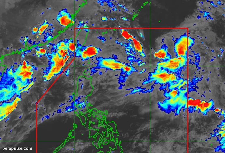
Ang Bagyong Pilandok ay lumalakas habang papalapit ito sa kapuluan ng Pilipinas, nagdadala ng malakas na pag-ulan sa ilang mga lalawigan. Noong Setyembre 1, 2026, nagbigay ng babala ang Philippine Atmospheric, Geophysical and Astronomical Services Administration (PAGASA) tungkol sa potensyal na flooding.
Mga Taya ng Ulan at Mga Apektadong Lugar
Ang southwest monsoon, na kilala rin sa lokal na tawag na 'habagat', ay nagdudulot ng katamtaman hanggang sa malakas na pag-ulan sa iba't ibang rehiyon, na partikular na nakakaapekto sa: Inihayag ng PAGASA na ang kabuuang pag-ulan ay maaaring umabot sa pagitan ng 50-100 millimeters sa mga lugar na ito. Bukod dito, ang mga residente ng Metro Manila at mga kalapit na rehiyon ay maaaring asahan ang mga nakakalat na ulan at pagkulog.