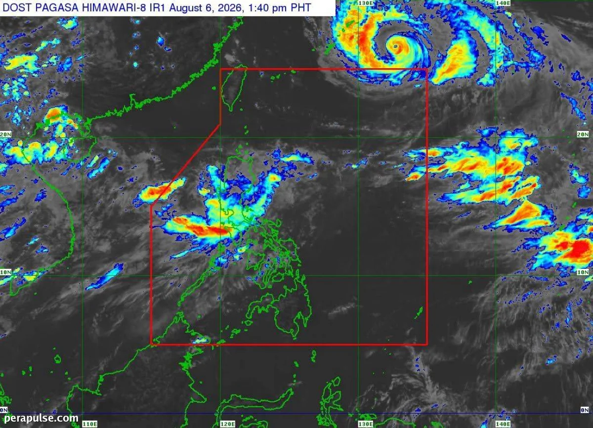
Ang Tropical Depression 'Maymay' ay opisyal nang umalis sa lupain ng Luzon at ngayon ay nasa ibabaw ng Dagat ng Pilipinas. Ang Philippine Atmospheric, Geophysical, and Astronomical Services Administration (Pagasa) ay nakumpirma ang paggalaw ng bagyo.
Ayon sa pinakabagong ulat, ang 'Maymay' ay matatagpuan humigit-kumulang 150 kilometro silangan-hilagang-silangan ng Echague, Isabela, na bumibiyahe patimog-silangan sa bilis na 35 kilometro bawat oras (kph). Ang bagyo ay may pinakamataas na tuloy-tuloy na hangin na 45 kph, na may mga bugso na umaabot hanggang 70 kph.
Mga Apektadong Lugar sa ilalim ng Signal No. 1
Ang mga residente sa mga rehiyong ito ay maaaring asahan ang bilis ng hangin na mula 39 hanggang 61 kph sa susunod na 36 na oras, na nag-uudyok ng pag-iingat.
'Maymay' ay patuloy na nagdadala ng malakas na pag-ulan, partikular na nakakaapekto sa Ilocos Sur, La Union, Pangasinan, at Benguet.
Inaasahang ang bagyo ay lilipat sa isang low-pressure area sa loob ng ilang oras at inaasahang matatagpuan sa 295 kilometro silangan ng Casiguran, Aurora sa madaling araw ng Biyernes.
Bilang karagdagan sa 'Maymay', ang pinalakas na timog-kanlurang monsoon ay nag-aambag sa pag-ulan sa malaking bahagi ng Luzon, kabilang ang Metro Manila.
Sa ibang bahagi ng bansa, ang mga kondisyon ay karaniwang bahagyang maulap hanggang maulap, na may mga nakahiwalay na pag-ulan na malamang dahil sa localized thunderstorms.