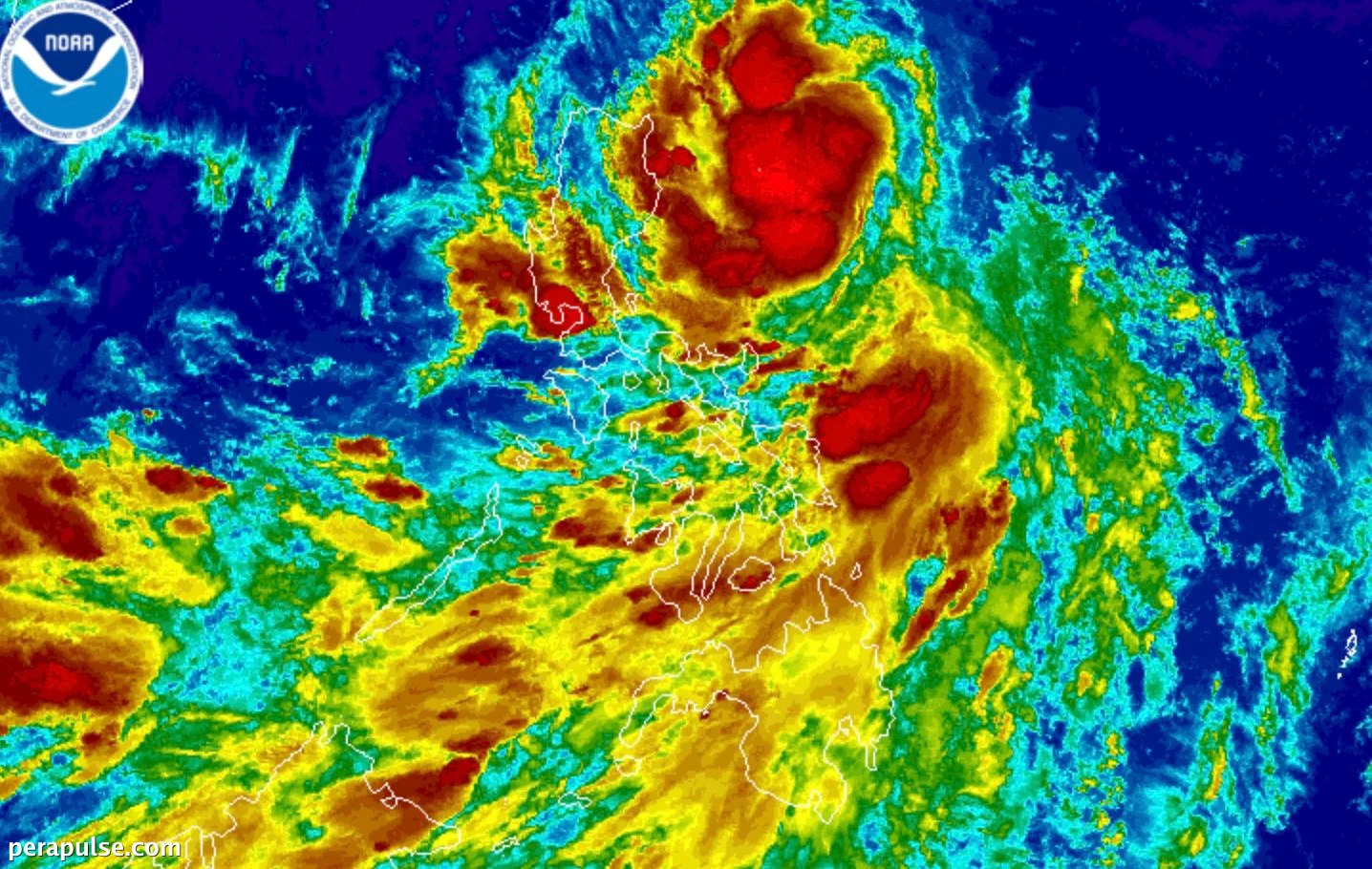
Tropical Depression Kiyapo is intensifying and may soon reach tropical storm classification, according to the Philippine Atmospheric, Geophysical, and Astronomical Services Administration (PAGASA). As of late Thursday, July 23, Kiyapo's maximum sustained winds increased to 55 km/h, accompanied by gusts of up to 70 km/h.
Positioned 535 kilometers east of Tuguegarao City, Kiyapo is moving west northwest at a speed of 30 km/h. The storm is expected to impact Northern Luzon, particularly the northeastern regions, with possible landfall in the Babuyan Islands.
Rainfall and Wind Warnings
It will continue to strengthen while traversing extreme Northern Luzon and may intensify into a severe tropical storm after passing the Babuyan Islands.
PAGASA
As Kiyapo approaches, Signal No. 1 has been issued for several provinces, including Batanes, Cagayan, and Isabela. This warning indicates the potential for strong winds, with the possibility of escalating to Signal No. 2 or 3 if the storm strengthens further.
The impact of Kiyapo coincides with the ongoing southwest monsoon, which is bringing additional rainfall across parts of the Visayas and Mindanao.
Safety Precautions Advised
Residents in affected areas should prepare for possible flooding and landslides due to the anticipated heavy rains. PAGASA advises the public to stay updated on weather advisories and take necessary precautions.
Kiyapo marks the Philippines' 11th tropical cyclone of the year and the fourth in July. The storm is projected to exit the Philippine Area of Responsibility by Saturday morning, July 25.
